
Fifth meeting of the DS&AI CoP
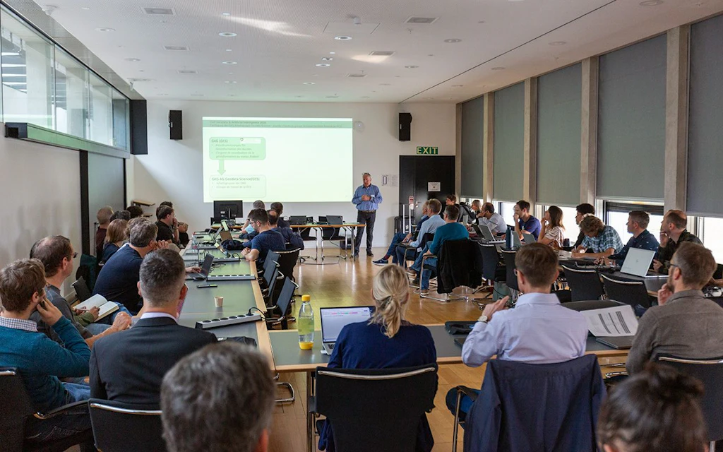
On 10 September 2025, the annual meeting of the “Geodata Science & Artificial Intelligence” CoP took place for the third year in a row. The event allowed for an exchange on practical applications by federal and cantonal authorities of geodata science methods, in particular artificial intelligence (AI), and on the latest scientific developments. This fifth event in the federal Data Science & Artificial Intelligence Community of Practice series was hosted by the Work Group of the Coordinating Agency for Federal Geographic Information (GCG).
Author: Tobias Kellenberger






Geodata Science & AI CoP– Summary of the event
This event in the federal “Data Science & AI” CoP series was organised by the Work Group of the Coordinating Agency for Federal Geographic Information (GCG).
- Alessandro Cerioni (DIT, Canton of Geneva) presented a traffic monitoring tool developed for the Geneva cantonal transport authority. The system integrates real-time traffic data and geometries from Waze with Geneva’s transport network.
- Helge Aasen (Agroscope) explained how Agroscope employs AI and Earth observation data for automated monitoring of the Swiss agricultural landscape, demonstrating several practical applications.
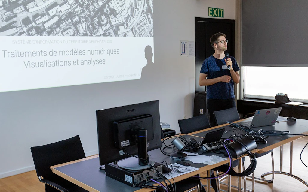
- Corentin Junod (SITN, Canton of Neuchâtel) presented ways of visualising digital elevation data for various applications.
- Jonas Schmid and Carl Joseph (Office for Geoinformation, Canton of Bern) showcased how the cantonal authority is already applying innovative geodata science methods, particularly AI, through a series of practical examples.
- Raphaëlle Arnaud and Pasquale Di Donato (swisstopo) presented a project from the Swiss Geoinformation Strategy (SGS) that illustrates how large language models (LLMs) can be effectively used within geodata infrastructures to simplify queries and support knowledge extraction.
- Konrad Schindler (Photogrammetry & Remote Sensing, ETH Zurich) opened his keynote with an overview of the diverse possibilities for extracting information from remote sensing data using AI. The second part of his talk focused on the performance and limitations of AI in geodata analysis. His call to embrace AI technology and its potential rather than fear the “black box” resonated strongly and was reflected in a lively discussion.
The official part of the meeting concluded with a standing lunch, offering the Geodata Science Community of Practice an opportunity to exchange experiences, share knowledge and network.
For further information, please contact the head of the Geodata Science Working Group, Tobias Kellenberger. (Tobias.Kellenberger@swisstopo.ch )
Federal Statistical Office
Espace de l'Europe 10
2010 Neuchâtel